Canadian Wildfires Smoke Sweeps Through South Dakota & Minnesota
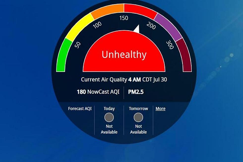
With another beautiful day ahead of us temperatures will walk up and over 80 degrees today. However, the skies will appear hazy from wildfire smoke.
The National Weather Service in Sioux Falls has been tracking the Canadian fire's effects through the atmosphere by satellite.
Satellite images show the smoke tracking through North Dakota, South Dakota, and Minnesota. The Canadian Wildland Fire Information System states that the majority of the fires have been in Alberta where a quarter of the 87 are out of control. https://cwfis.cfs.nrcan.gc.ca/report/graphs#gr1
This isn't new to South Dakota or Minnesota as we've watched red sunrise and sunset scenes in past years due to wildfires in Canada, Montana, and the Black Hills.
On May 16, smoke contributed to hazy skies and hazardous air quality in North Dakota and northern Minnesota. An AERONET sensor at the University of North Dakota in Grand Forks measured an average AOD of 2.3 on May 16, with peak values close to 3.
Offbeat adventures: Travel to the coolest hidden wonders in every U.S. state
20 Classic Cars From 20 Classic Movies
More From KSOO-AM / ESPN Sioux Falls


