
3 Mind Blowing Secrets Hidden Beneath the Ground in Minnesota
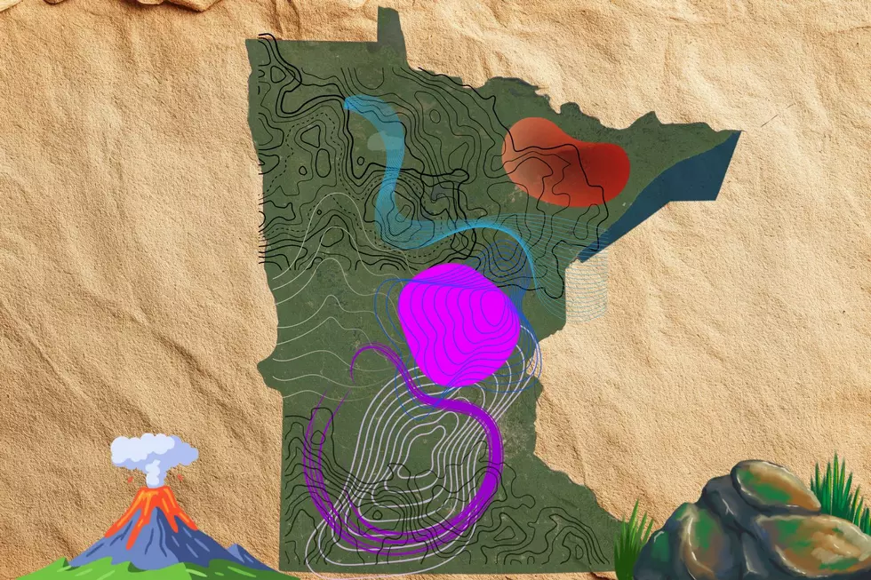
Before it became the 'Land of Ten Thousand Lakes' (thanks to the glaciers), what is now known as Minnesota was once split by ancient volcanoes, making some of the oldest rocks on planet earth.
Long before giant ice sheets carved out our modern landscape, the ground beneath our feet was an unpredictable region of violent continental rifts, raging rivers of lava, and an almost endless inland sea. Deep beneath our quiet forests, rolling prairies, and bustling cities lies a story millions, if not billions of years in the making.


Did you know Minnesota used to be in the tropics? It's true! Long before the North Star State was famous for ice and snow, it was submerged under a warm shallow tropical ocean. And when we say "long before", we mean it. We're talking between 400-500 million years ago, during the Ordovician period, when North America was positioned near the equator. Sea levels were much higher around this time, which is why much of Minnesota was covered with a vast inland sea.
After the ancient ocean eventually dried up, it left behind giant layers of sand, mud, and shell deposits. These days, you can still find evidence of the inland sea in the towering limestone bluffs along the Mississippi River, along with the St. Peter Sandstone hidden right beneath the Twin Cities Metro.
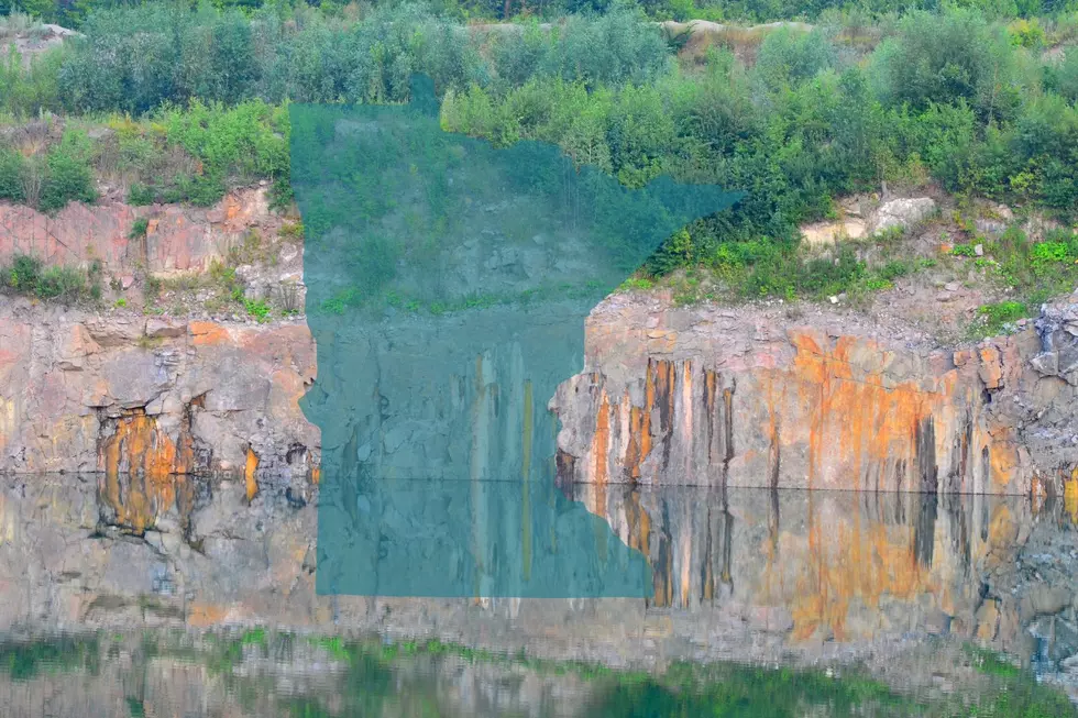
Some of the oldest exposed rock on earth is sitting right in Minnesota. You just have to know where to look. Deep in the Minnesota River Valley (southern and western MN), geologists discovered the Morton Gneiss, a striking, pink-and-black granite-like stone that formed roughly 3.5 billion years ago.
To put that into perspective, Earth itself is estimated to be about 4.5 billion years old. That makes these rocks in Southwest Minnesota the oldest in the entire United States.
You can check it out for yourself by visiting the Morton Outcrops Scientific and Natural Area, on the west side of Morton, Minnesota.
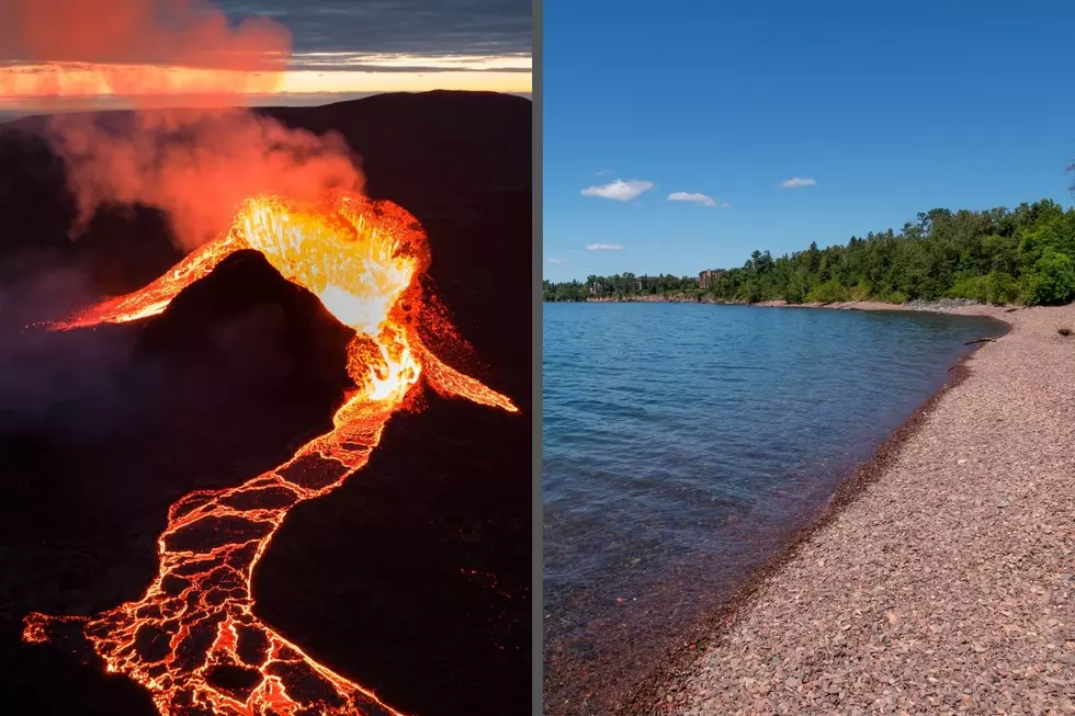
A little over One Billion Years ago, the continent we know today as "North America" began ripping itself apart, right through the heart of Minnesota. Known as the Midcontinent Rift, a gaping tear in the Earth's crust for over 1,200 miles, stretched all the way from Lake Superior down through modern day Kansas and possibly Oklahoma. Because of this, local volcanoes (yep, there were once volcanoes in Minnesota), unleashed a huge amount of eruptions, which spewed fountains of molten lava across the Midwest.
When the lava cooled, it became basalt rock, which is littered over the entire region today. In Minnesota, you can see examples of this at Interstate Park (Taylors Falls), and along the Lake Superior shoreline.
Dives Worth a Drive in South Dakota, Iowa and Minnesota
Gallery Credit: Karla Brown
More From KSOO-AM / ESPN Sioux Falls





![Caitlin Clark Overcomes Injury But Fever Lose…Again [VIDEO]](http://townsquare.media/site/675/files/2024/05/attachment-clark4.jpg?w=980&q=75)