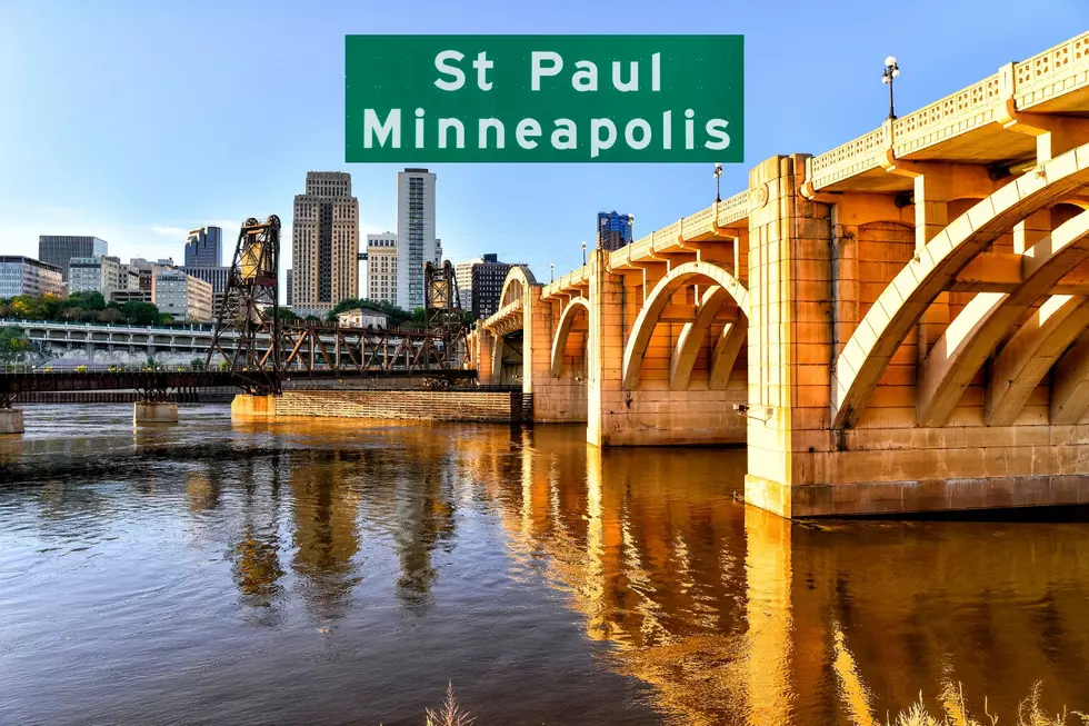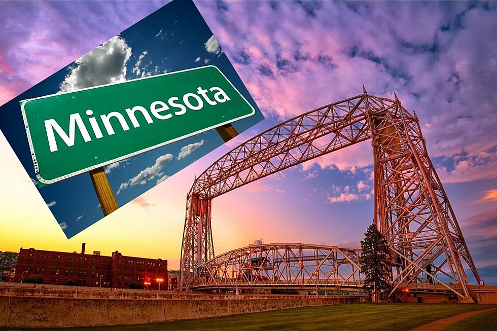
Explore These Iconic Minnesota Bridges In The Twin Cities
There are around 25 bridges throughout the Minneapolis and St. Paul, Minnesota metro that allow you to walk or roll across the Mississippi River and Minnesota River. A few are only used by the railroad. Others have their own historical prominence.
Discover The Bridges of Minneapolis & St. Paul
The Twin Cities are divided by the Mighty Mississippi. Here, you can take a virtual stroll on some of these historic bridges. Some pictures are current, others go back as far as 15 years.
See how many bridges you've crossed.
Cedar Avenue Bridge
Three lanes in each direction that carries Minnesota State Highway 77 across the Minnesota River.

Central Avenue
Just above the dam at St. Anthony Falls.
Dartmouth Bridge
U.S. Hyw. 12 bridge that carries more vehicles than any other bridge in the state with 10 lanes of traffic.
10th Avenue Bridge
Formerly called the Cedar Avenue Bridge, connects 10th Avenue Southeast, on the east side of the Mississippi River to 19th Avenue South, on the west side.
Broadway Avenue Bridge (Merriam Street Bridge)
The current bridge was built in 1987. However, this is number three. A wooden structure was first built in 1857 but washed away in a flood two years later. In 1887 Broadway III was one of the most ornate bridges to be constructed in Minnesota.
BNSF Rail Bridge
Spans the main channel of the Mississippi River between downtown Minneapolis and Nicollet Island.
Canadian Pacific Camden Place Rail Bridge
The bridge passes over the St. Anthony Parkway. It is the main line crossing of the Mississippi River for the Canadian Pacific Railway transcontinental (Soo Line Railroad) line.
Ford Parkway Bridge
Just a short distance up-river from the Twin Cities Assembly Plant Hydroelectric Dam
Franklin Avenue Bridge - (Cappelen Memorial Bridge)
One of the renowned concrete arch bridges of the 1920s. At the time of construction, it was the longest concrete arch in the world.
Hennepin Avenue Bridge
The Granddaddy of Minneapolis bridges that opened in 1855 is a suspension bridge with 150-foot tall towers. The top picture is from 207. Bottom from 2021. Notice the Grain Belt Beer sign is still standing.
I-35W Minnesota River Bridge
Carries Interstate 35W across the Minnesota River between Bloomington and Burnsville, Minnesota went through a 3-year expansion to 8 lanes.
Lake Street-Marshall Bridge
Connects Lake Street in Minneapolis to Marshall Avenue in St. Paul. Pictures are from 1968 and 2021
Lowry Avenue Bridge
A beautiful addition to Minneapolis as the Lowry has been rebuilt to honor people, places, and events. Such, when Prince died.
Mendota Bridge
Carries State Highway 55 across the Minnesota River valley between Mendota Heights in Dakota County and the Fort Snelling area of Hennepin County. Comprised of 13 rib-arch main spans of 304 feet each, it was the longest continuous, concrete arch bridge in the world when built-in in 1926.
Merriam Street Bridge - (Broadway Avenue Bridge)
Connects to Nicollet Island.
Nicollet Island Railroad Bridge
This was the first Mississippi river railroad crossing in Minneapolis.
Northern Pacific Bridge Number 9
Located between the Seven Corners area and the University of Minnesota campus.
Plymouth Avenue Bridge
Built in 1873 when Minneapolis consolidated with the city of St. Anthony.
Ford Parkway Bridge
Served commuters back in the day traveling to the Ford plant. Also, known as Intercity Bridge.
Short Line Bridge
Just north of Lake Street which follows the River Greenway.
Saint Anthony Falls Bridge
The historic Third Avenue Bridge over the Mississippi River near St. Anthony Falls opened in 1918 and needs significant repairs. The bridge carries Third and Central avenues, which are part of Hwy 65. Construction began in May 2020 and is anticipated to be complete in August 2023. The reverse S-curve alignment and spacing of the arches were
intended to avoid dangerous limestone breaks. The bridge is fully closed to traffic through November 2022.
Stone Arch Bridge
Built in 1883 this Great Northern Railroad bridge carried two tracks into downtown Minneapolis and at its peak brought 80 passenger trains a day into Union Station. Bordered by Father Hennepin Bluff Park and Mill Ruins Park.
Washington Avenue Bridge
Carries the METRO Green Line light rail across the Mississippi River in Minneapolis and connects the East Bank and West Bank portions of the University of Minnesota campus.
It's a Minnesota Bucket List! 50 Things You Must Do and See in Minnesota
Gallery Credit: Jessica Williams
More From KSOO-AM / ESPN Sioux Falls


