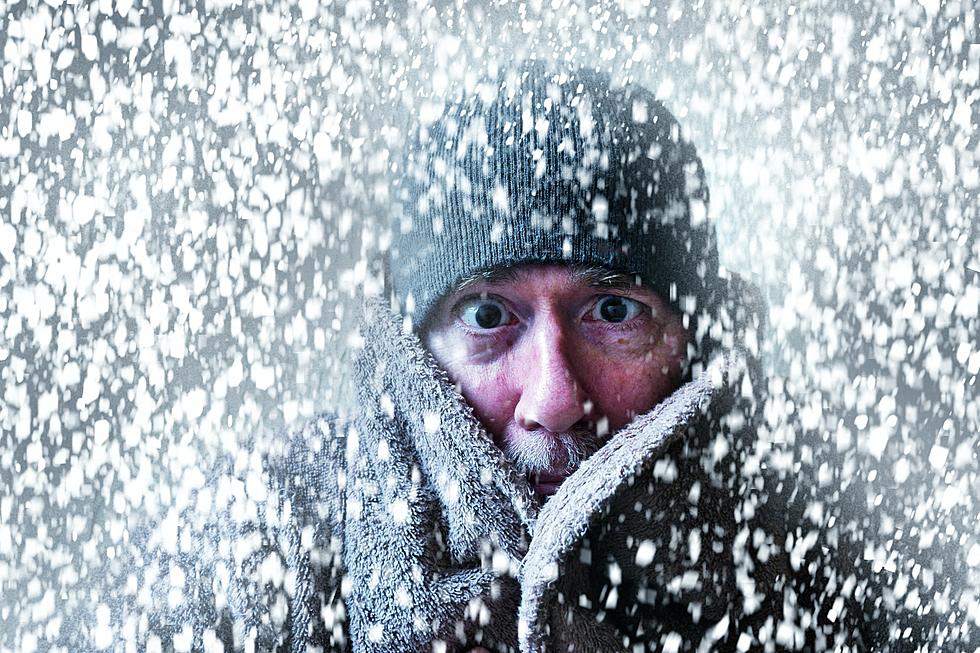
Look Out North Dakota & Minnesota, A Blizzard is Headed Your Way
Just in time for the spring flowers to make their appearance and make that first pass through your lawn and garden, we still have the unwelcome reminder of winter. It's mid-April for cryn-out-loud.
Yep, this must be the upper plains. Specifically, North Dakota! They will be the unlucky ones this week as the National Weather Service is tracking this latest storm. The northern part of Minnesota will also feel the sting of this blizzard.

The latest weather model from the National Weather Service of Bismarck is showing 18-24 inches of snow from Dickenson to Minot and Bismarck.
The Black Hills could see 6-12" of snow.
And southeast South Dakota is in the path of possible storms. After Tuesday the temperatures will nose dive once again bringing strong winds and the change for a wintery mix of precipitation.
TRENDING FROM RESULTS-TOWNSQUARE MEDIA SIOUX FALLS
- You Can Rent This Entire Minnesota Island for Only $375 Per Night
- The 5 Best 'Hole in the Wall' Restaurants in all of South Dakota
- The Best Pit Stops When Driving Across South Dakota
- The 10 Deadliest Creatures in the U.S. - And South Dakota Has Lots of Them
18 Annoying Things that People in the Midwest are Doing
More From KSOO-AM / ESPN Sioux Falls


