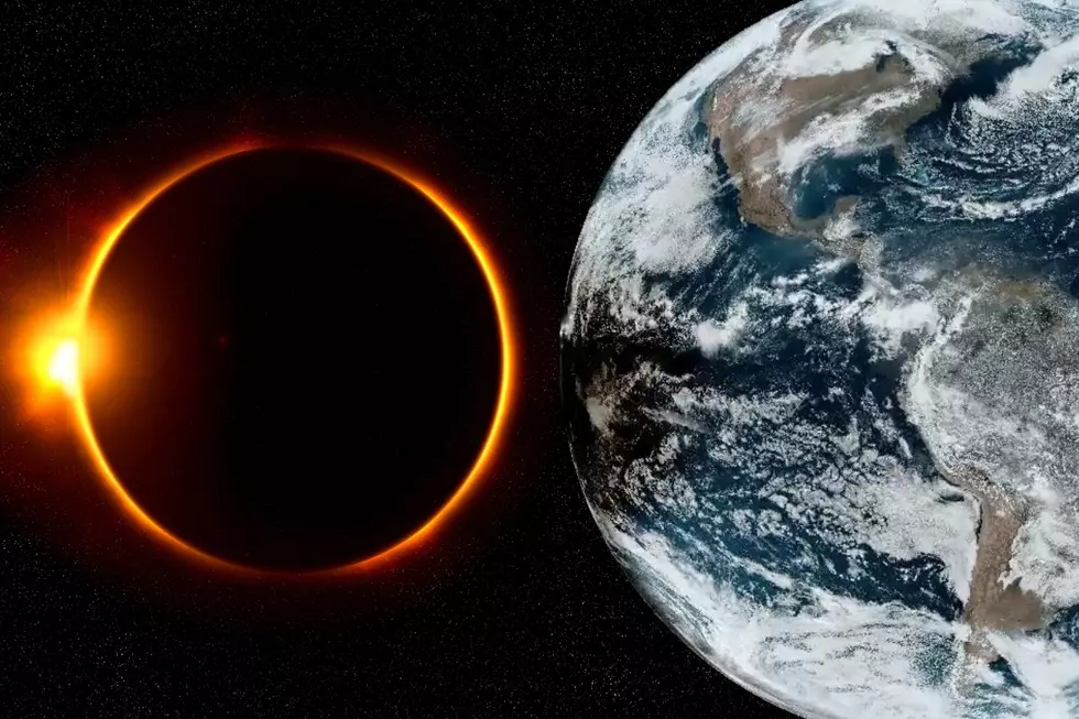
Spectacular! See What The Solar Eclipse Looked Like From Space Passing Over Minnesota + Wisconsin
While Minnesota and Wisconsin were not in the path of today's "path of totality" during the solar eclipse, many were hoping for a show. The amount of the sun covered by the moon got greater the further southeast you happened to be.
Places in Northwestern Minnesota would see about 60% of the sun covered, while Southeastern Minnesota saw about 80% coverage. In Wisconsin, it ranged from about 70% coverage in Northwestern Wisconsin to about 90% in Southeastern Wisconsin.
The bummer for many skywatchers across the region was a rain event that brought with it widespread clouds covering nearly all of Minnesota and a majority of Wisconsin. This made for just a bit of a darker period of time during an otherwise overcast day across the region.
While that cloud cover might have dampened the hopes of people looking to see the partial eclipse Minnesota and Wisconsin could have otherwise experienced, those same clouds make for a really cool visual from above.
The peak of darkness along the path of the eclipse lasts only a matter of minutes, with partial shadow being present longer, spanning over the course of roughly an hour.

Thanks to NOAA's GOES weather satellites, you can get a really cool perspective of what the shadow cast by the moon looks like from space as the eclipse tracked through the country. We'll take a closer look at Minnesota and Wisconsin too, but here's a look at North America as you can see a shadow cast on the earth and darkening the clouds across the country. You can also see evening coming from the east across the Atlantic Ocean, too.
Pretty cool, right?
Here's a look at Minnesota and Wisconsin as the shadow of the moon passed along Monday afternoon.
One more for good measure, showing the Great Lakes, nearer to the Path of Totality during the eclipse on Monday afternoon.
Odd Shadows Appear During Solar Eclipse
Gallery Credit: Credit N8
More From KSOO-AM / ESPN Sioux Falls


